From the archive
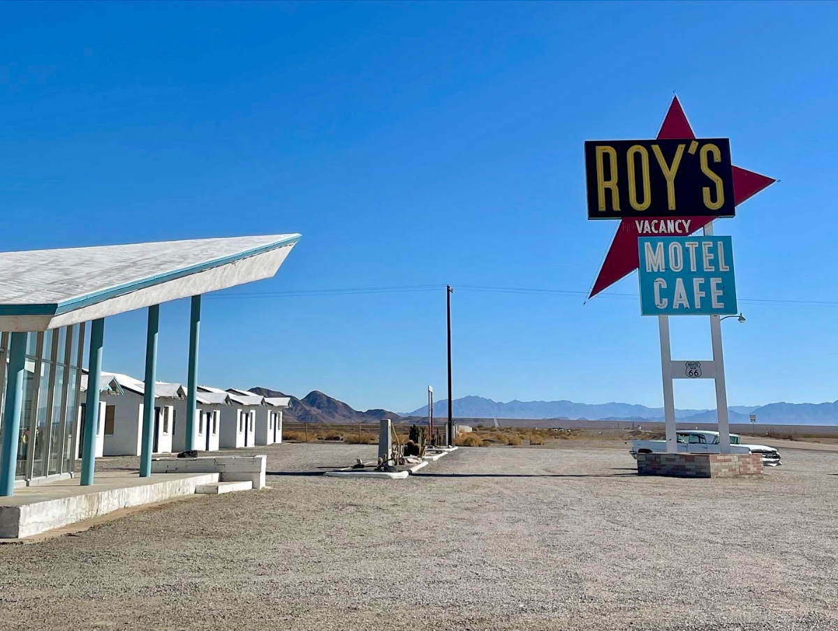
Amboy & Mojave Desert
At a glance
- Region
- Desert
- Photographs
- 3
- Best light
- Sunrise and sunset; clear midday for lava-tube beams
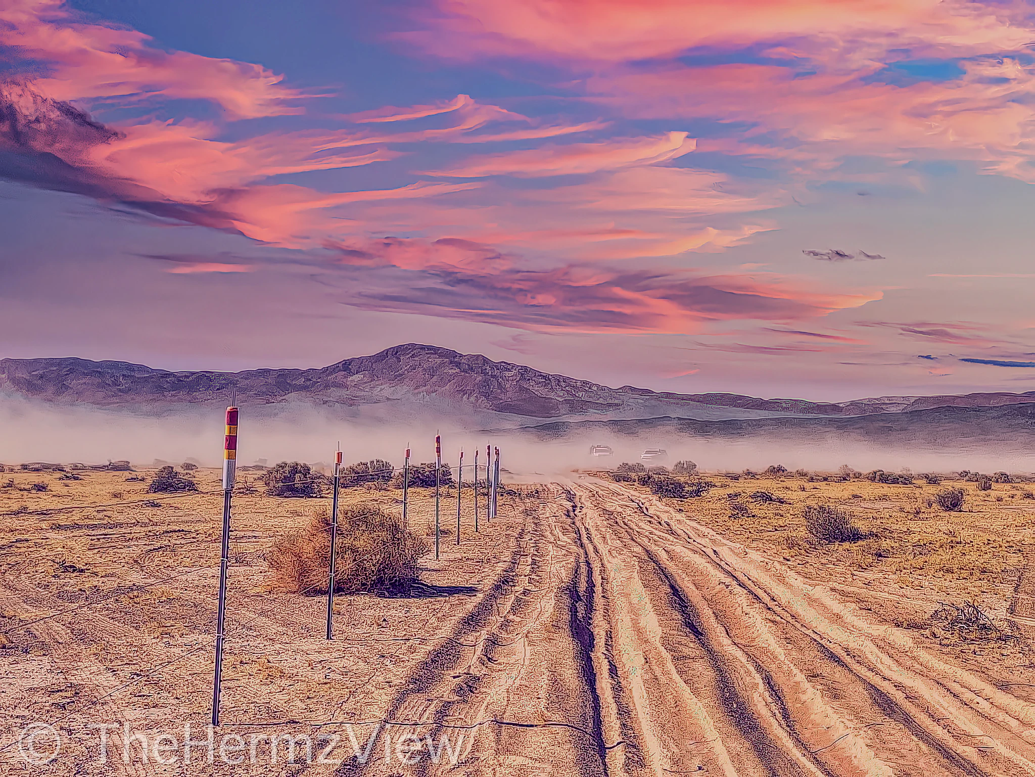
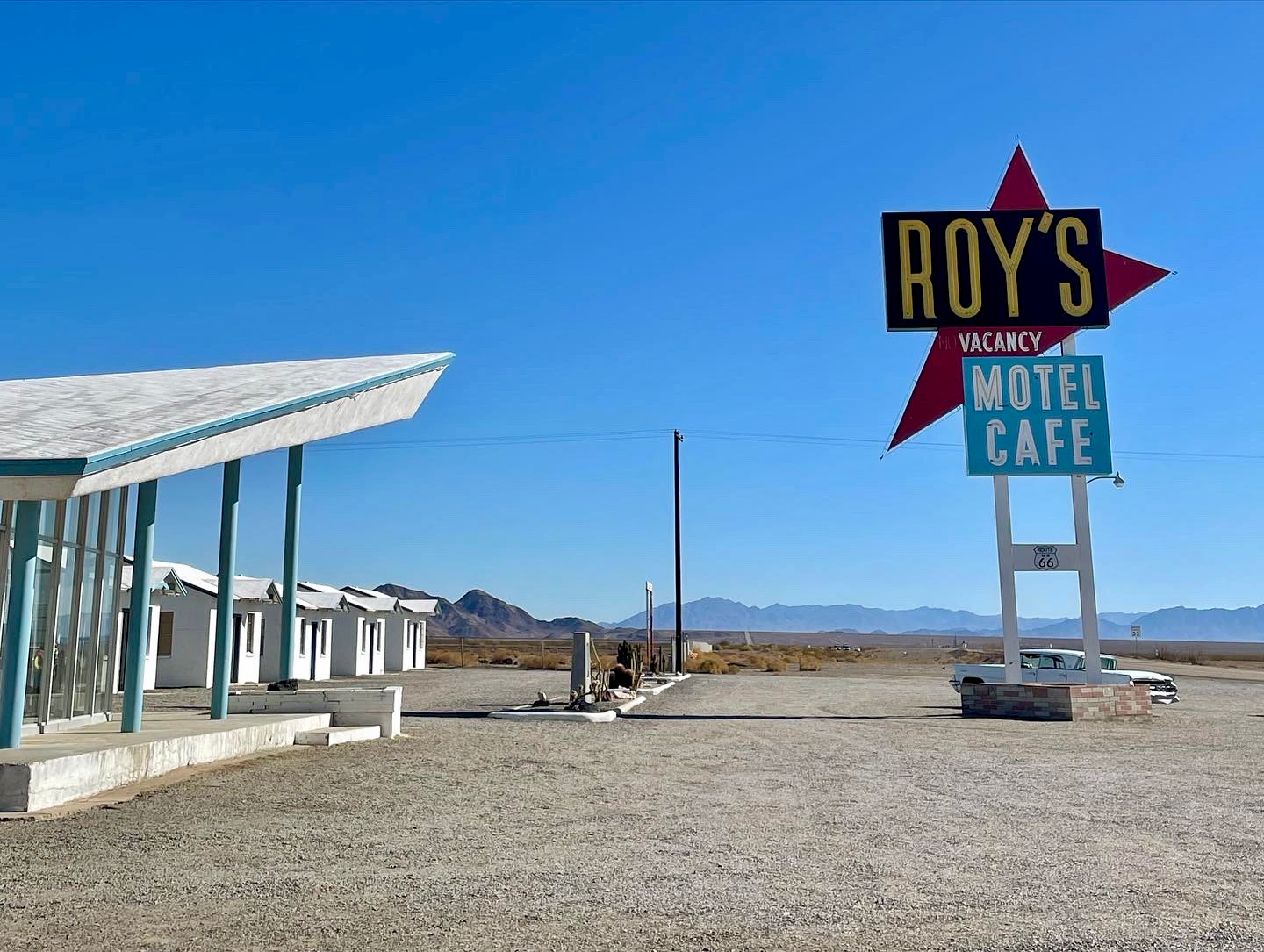
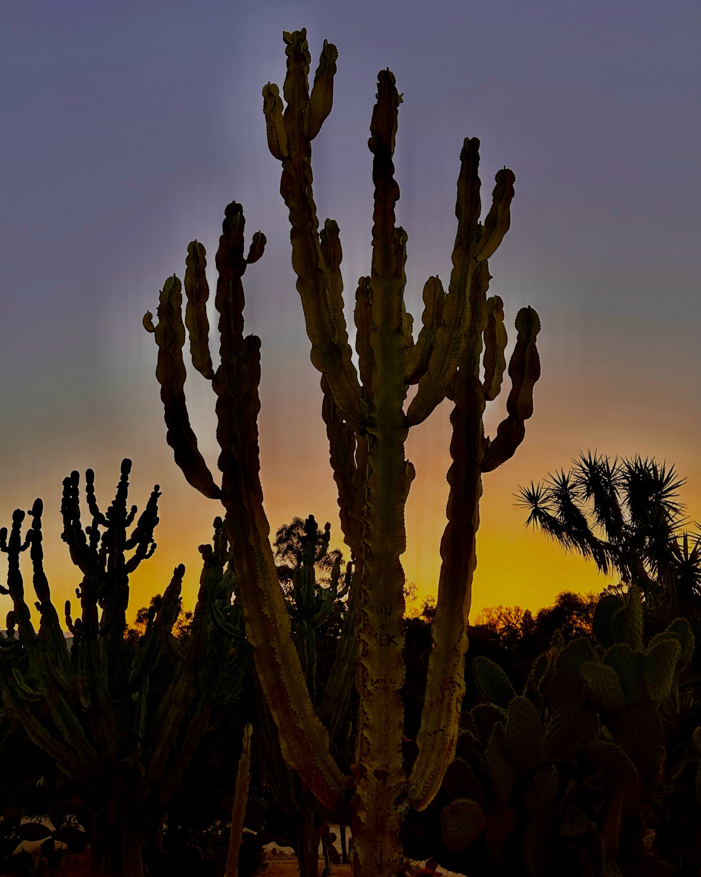
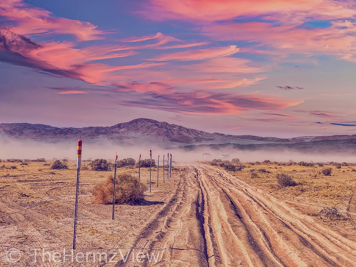
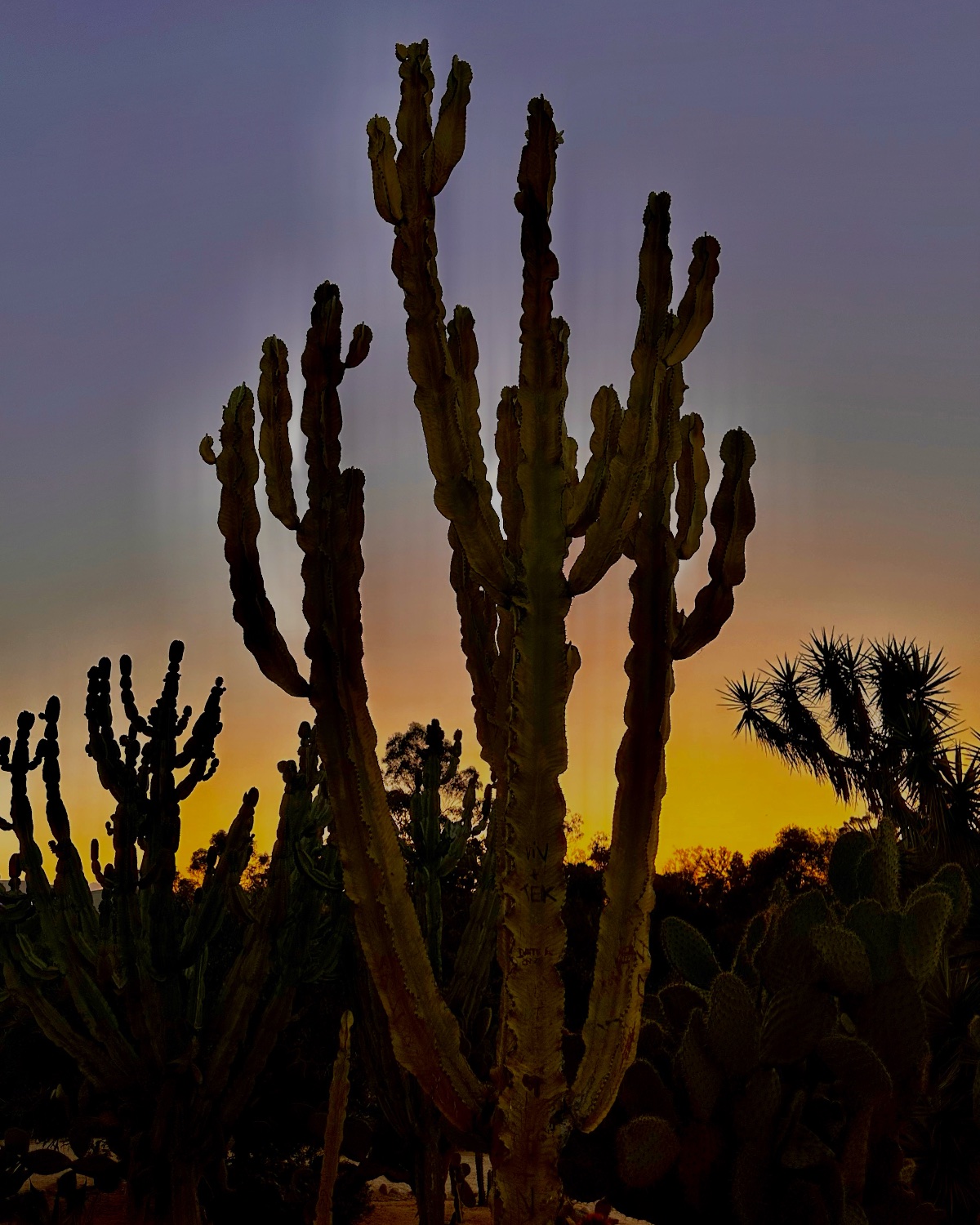
Magenta Dust · Mojave Desert, California
SunsetDesert1 / 3
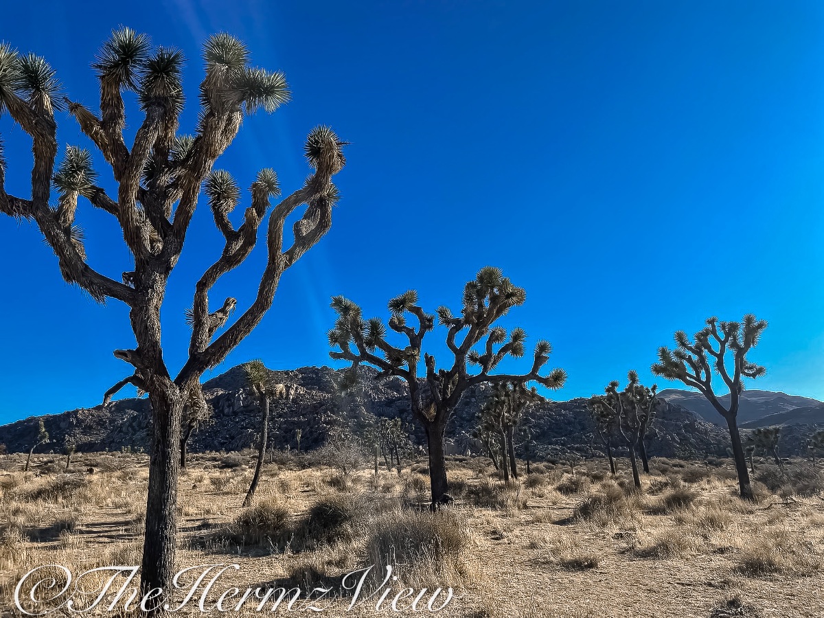
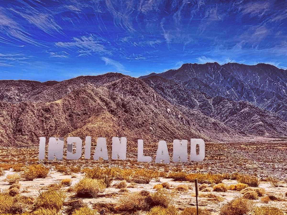
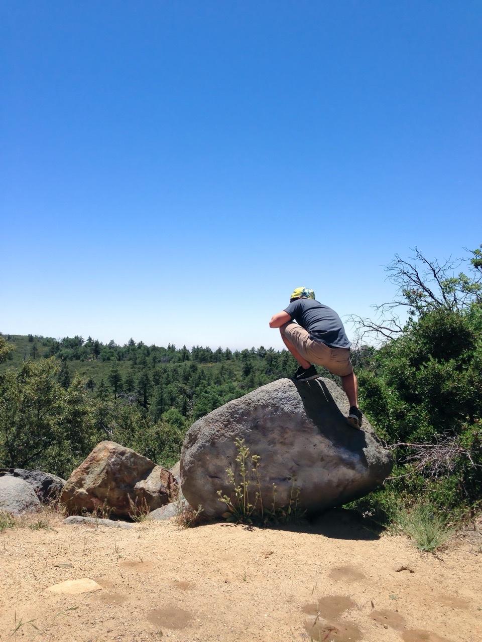
A written field note for this place is being prepared. In the meantime, the photographs below are every published frame from this location.
Visit tips
Before you go
- Best time of day
- Sunrise and sunset; clear midday for lava-tube beams
- Getting there & parking
- Reach Amboy Crater via Crater Road off Route 66, about 2.5 miles west of Amboy; the paved lot features an ADA-accessible observation platform, shaded ramadas, and vault toilets, though there is no running water. For Mojave National Preserve, follow Kelbaker Road south from Baker and fuel up before entering, as there are absolutely no services or gas inside. Kelso Dunes has a large dirt parking lot accessible via a bumpy three-mile graded dirt road. The lava tube requires turning onto the unmarked Aiken Mine Road (about 19 miles south of Baker) and driving roughly five miles on a rough washboard dirt road; high-clearance or four-wheel drive is highly recommended.
- What to bring
- When preparing for the exposed, 3-mile Amboy Crater hike across ancient lava fields, pack at least one gallon of water per person, as well as electrolyte replacements and high-energy snacks. Sturdy, closed-toe hiking footwear is essential for navigating the steep, loose volcanic rock along the rim. Because there is absolutely no shade along the trail, full sun protection—including a wide-brimmed hat, sunglasses, and sunscreen—is required. The area is best explored between October and April to avoid the dangerous, extreme summer heat. If you plan to explore the nearby Mojave Desert lava tubes, a reliable headlamp or flashlight is necessary to navigate the dark, uneven underground terrain. For those staying after dark to capture the region's renowned night skies, a sturdy tripod to withstand desert winds and a fast, wide-aperture lens are highly recommended for astrophotography. Finally, always carry a physical map or download offline trail maps before you arrive.
Sources: hully.day · www.orangecountyoutdoors.com · www.divinedesertdestination.com · www.airial.travel · www.pbssocal.org
Conditions change — check official sources before visiting.
Photo gallery
Every frame from Amboy & Mojave Desert
Nearby